

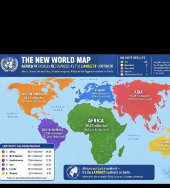
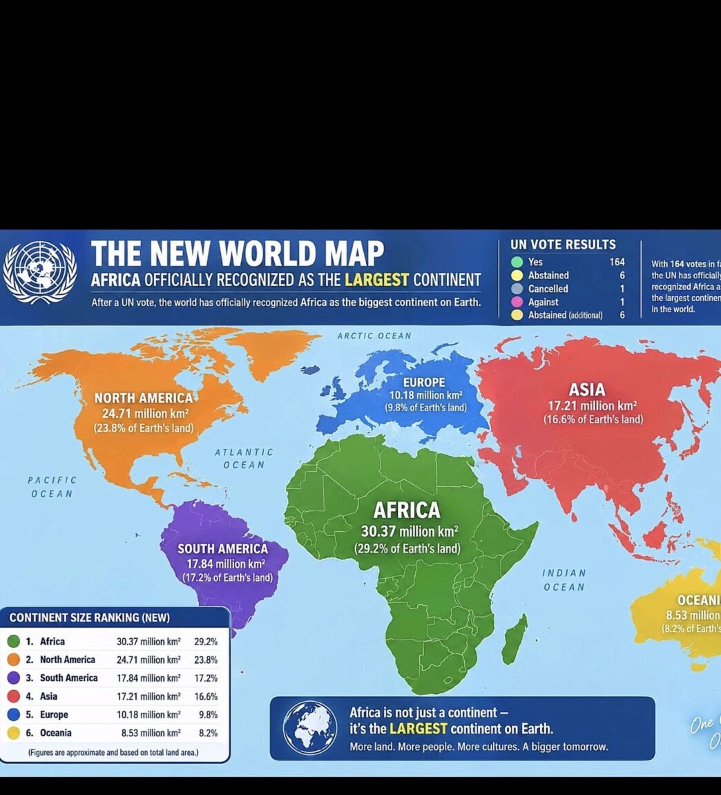
Africa’s size on world maps is back in focus after the United Nations backed a resolution calling for better map representation.
The resolution, introduced by Togo on behalf of African countries, was approved by the UN General Assembly.
It passed by 164 votes to one, while six countries abstained. The United States was the only country to vote against the resolution.
The move does not mean the UN has officially replaced the world map used today.
Instead, the resolution encourages wider use of maps that show land areas more accurately.
This includes equal-area projections such as the Equal Earth map, which gives a clearer picture of Africa’s actual size.
Togo’s Foreign Minister Robert Dussey said maps can influence how people understand the world.
“Maps shape our understanding of the world. They guide education, nourish the imagination, and influence collective perceptions,” Dussey said.
He also called for African countries to take action on how the continent is represented.
“It’s time for us in Africa to take responsibility to change what we can change ourselves.”
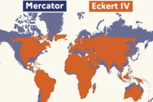
The Africa true size map debate has grown because the widely used Mercator projection makes areas near the poles appear much larger.
Africa, however, covers about 30.3 million square kilometres, making it far larger than its appearance on many common maps suggests.
The Equal Earth projection was created in 2018 by cartographers Tom Patterson, Bernhard Jenny and Bojan Šavrič.
The Africa true size map campaign is now urging governments, schools and international organisations to consider more accurate alternatives.
The UN resolution is not legally binding and does not force countries to abandon the Mercator projection.